*Note: Click on photos to make them larger.
Long poles, ladders, cherry pickers — archaeologists have used a number of methods to get good aerial shots of excavation sites. It can be costly, time-consuming, sometimes even dangerous. Now, thanks to funding from UNC’s Summer School, scientists in the Research Laboratories of Archaeology in the College of Arts and Sciences are using a drone to get a true birds-eye view of archaeological work.

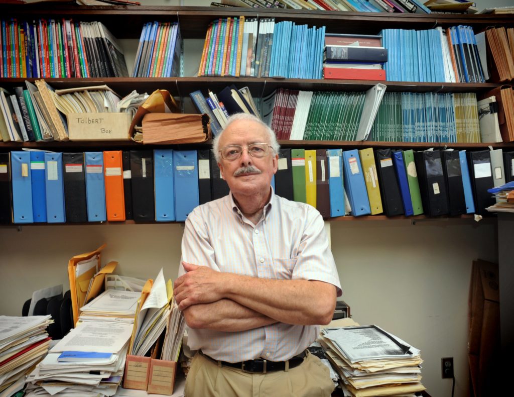
Archaeologists Vin Steponaitis and Steve Davis and graduate student David Cranford took the drone out for a test flight on Oct. 9 on the grounds of Ayr Mount, a Federal-era plantation house built in 1815 in Hillsborough. The property provided a wide, open space for exploration.
Steponaitis, chair of the curriculum in archaeology and director of the RLA, said the drone can take aerial photos of excavations to better document them, to map sites using photogrammetry and to make 3D models of buildings and mounds. Photogrammetry is the science of making measurements from photographs; it is a technique that has been used to make topographic maps for many years.
“With a drone, we can do in a half hour work that would take days to do using other methods,” Steponaitis said.

“I’d much rather send a drone up than me,” Davis added.
They plan to debut the drone in the summer 2016 archaeological field school and train students to use it.
Davis said archaeologists have begun to realize the benefits of using drones, and the gadgets have now become more affordable.
He said it’s important to keep up with changes in technology, even with a discipline that focuses on studying the past.
“Technology gives you new ways of looking at things, and those insights allow you to connect the dots in ways that would be extremely difficult without the technology,” he said. “In terms of the importance to archaeological fieldwork — when we excavate, we destroy, and we want to document what we see in the field because back in the lab we are always referring to our photographs and field notes. … We continue to benefit today from data from excavations [that happened] 40 or 50 years ago.”

Davis is working on a virtual museum of North Carolina artifacts that will include some objects in 3-D, and undergraduate and graduate students are assisting with that project. The researchers are using software to create 3-D models of photographs taken in the field — to document landscapes and sites, to capture pits and trenches, and to get a detailed look at individual artifacts. The drone will help with that ongoing modeling work.
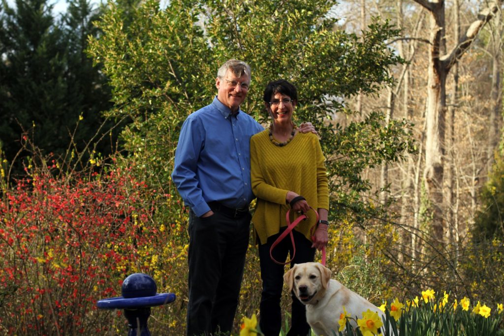
The team had a little fun that day at Ayr Mount as well, directing the drone to take a selfie of the group, which also included photographer Jim Haberman, who has long documented the work of his wife, UNC religious studies professor and archaeologist Jodi Magness.
“The disturbing thing is when it comes at you a little bit,” Davis said. He added quickly, “But it’s a ‘benevolent’ machine. And it’s easier than using a [selfie] stick.”
By Kim Weaver Spurr ‘88
For more photos, visit our College of Arts and Sciences Facebook album.


