Tungurahua or “throat of fire” is one of the most active and dangerous volcanoes in South America, located about 85 miles south of Ecuador’s capital of Quito. UNC geologist Jonathan M. Lees and fellow researchers from three institutions are undertaking a groundbreaking new study of the volcano with funding from the National Science Foundation. We asked him about the project in this email interview.
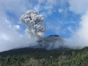
Q: Tungurahua is one of South America’s most active and dangerous volcanoes. Why does it make it a good study subject for researchers?
A: Our project is an attempt to understand how volcanoes work during a crisis. We need to work on a volcano that has a lot of seismic activity so that we can perform the imaging. Tungurahua is one of the most active volcanoes in the Northern Andes. Besides, Tungurahua is part of Ecuador that has a long history of natural hazards, so the social benefits are significant.
Q: Tell us about the focus of your new National Science Foundation-funded project at Tungurahua called VolcanoSRI. How long will the project last? What are researchers trying to do? How is this study breaking new ground?
A: VolcanoSRI stands for “Volcano Seismic Realtime Imaging.” We are playing on the idea of medical MRI — used for medical imaging of processes in our bodies. In our case we are trying to develop a new system of monitoring volcanoes where the instrumentation is inexpensive, maybe even disposable.
The total length of the project is four years. We have finished the first year and now we are refining the instrumentation and algorithms designed to accomplish the imaging.
Our small seismic stations are based on cell phone technology, identical to the kind we use daily for telephone communication. We will harness the powerful computers in our cell phones to do the calculations normally done with work stations.
Each station will have its own computer and the stations will communicate via wireless communication. As the stations communicate, they will exchange information and make decisions on how to process the earthquake data. The whole system will act as a large parallel computer and together the signals will be used to illuminate the changing structure in the volcano during an eruption.
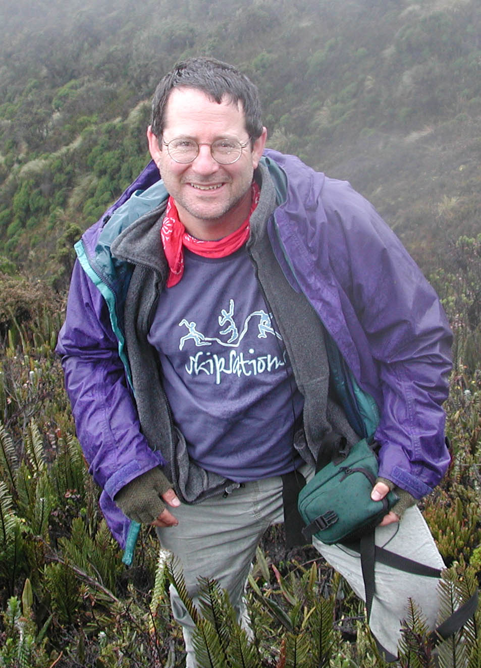
Q: Your project is a collaboration with three other institutions — Georgia State and Michigan State universities, and the Instituto Geofisico in Ecuador. The Ecuador institute also has a UNC connection. Can you tell us about that?
A: Yes, Professor Mario Ruiz graduated in 2006 with a Ph.D. from the department of geological sciences, UNC-Chapel Hill. After returning to Quito, Dr. Ruiz was appointed a professorship and recently was promoted to director of Instituto Geofisico, Escuela Politecnica National (IGEPN). This Institute is charged by the Ecuadorian government to monitor earthquakes and volcanoes throughout the country.
Q: When was the last time you were on the ground in Ecuador? How many times have you been to Tungurahua before?
A: Last time was July, 2012. I brought down most of the PI’s in the group and students from UNC-Chapel Hill. We installed a few of our new stations on the volcano as a preliminary test of the hard ware. We recorded several explosions on the new instruments and we are now in the process of assessing the quality of the data to plan for improvements. While we were in Ecuador we were able to get two years of data from Tungurahua to use as a test base.
While in Quito I gave a workshop on seismic data processing to young researchers at the Institute.
Q: Why is it important to study volcanoes? How long have researchers been actively studying Tungurahua?
A: Volcanoes have been the focus of human fascination for thousands of years. Besides posing significant hazard, they are also objects of great beauty and awe inspiring. Human history, art and culture, is full of reference to volcanic activity. Finally, for me as an earth scientist, volcanoes are windows into the processes that form our planet.
Andean volcanoes have shaped the history of Ecuador through the centuries, although the scientific exploration of active volcanism is relatively recent.
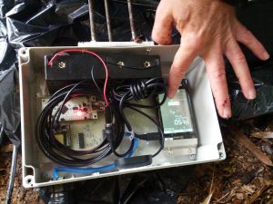
project. The cell phone acts as computer and communication platform for the instruments. (photo courtesy of Jonathan Lees).
: As a researcher, what attracts you to this field of study? Do you ever worry about the dangers of this line of research?
A: I often am asked about the dangers of working on volcanoes. Generally, we try to be very careful when we work in the field. Volcanologists, however, occasionally get killed in the line of duty. The lure and adventure of witnessing a wonder of nature, exploring our world and making new discoveries is irresistible. For the most part, though, driving to the volcanoes is much more dangerous than working in active regions.
Q: What courses do you teach related to volcanoes?
A: I teach a first year course called “Violent Earth” (GEOL 205) where we discuss volcano hazards at the introductory level. At a more advanced stage I teach a class called “Physical Volcanology” which is aimed at the quantitative analysis of volcanological processes.

